Name:
檜坂 ひのきざか
Hinoki-zaka, Hinoki Cypress Rise
Location:
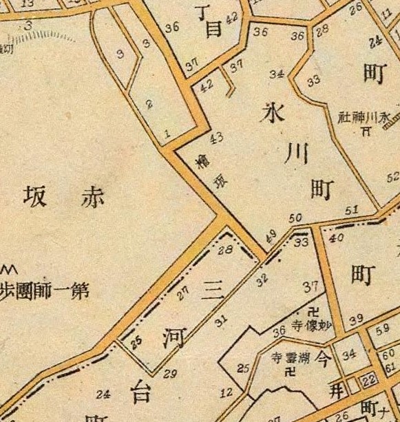
赤坂6丁目19番、9丁目7番の間
Between Akasaka 6-19 and 9-7
This article is part of the special feature Akasaka on the Rise. Check it out in my Live Maps Collection.
The official description:
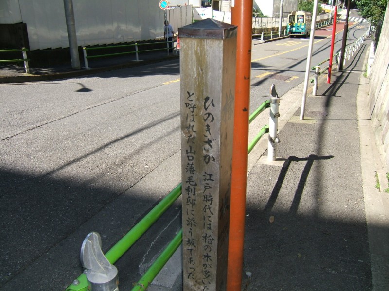
江戸時代には檜の木が多いため檜屋敷と呼ばれた。山口藩毛利邸に添う坂であった。
During the Edo Period, the area was called Hinoki Cypress Estate because there were so many Hinoki Cypress trees. This rise went along that estate, which belonged to Mouritei, Lord of Yamaguchi Domain.
Unofficial explanation:
 Hinoki Cypress Rise starts at the bottom just south of Roppongi Avenue (六本木通り, Roppongi Doori), near the Iranian Embassy and Hinoki Town Park (檜町公園, Hinoki-chou Koen). It peaks at the Hinoki-zaka Compound, housing for foreign families related to the nearby embassies. [Photo is from the top of the rise]
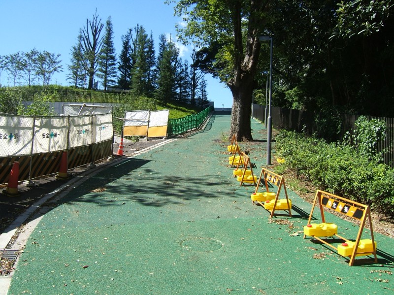
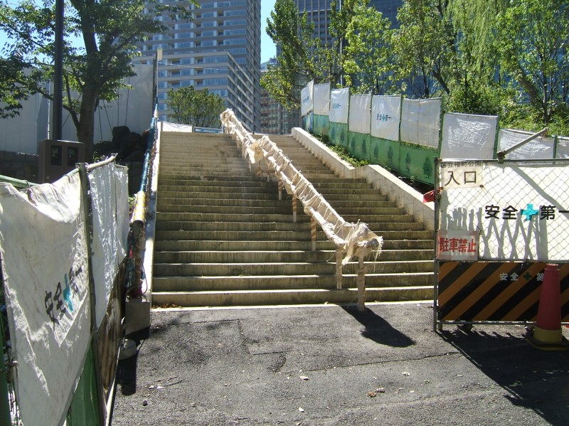 The estate is currently Hinoki Town Park (檜町公園, Hinoki-chou Kouen] and Tokyo Midtown (東京ミッドタウン, Toukyou Middotaun), which until recently until recently was the Ministry of Defense (防衛庁, Boueichou). [Photos of stairs to the park (now under renovation), and park acess road, which takes the concept of "green streets" a bit too far]
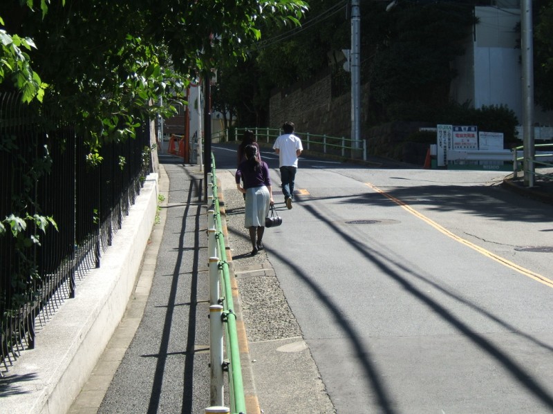
Yamaguchi Domain is now Yamaguchi Prefecture (山口県, Yamaguchi-ken). Mouri Hidemoto was appointed daimyo of Choufu Domain in 1600 by Tokugawa Ieyasu. Choufu was later merged with a neighboring domain to form Yamaguchi. [Photo is from the middle of the rise looking up]
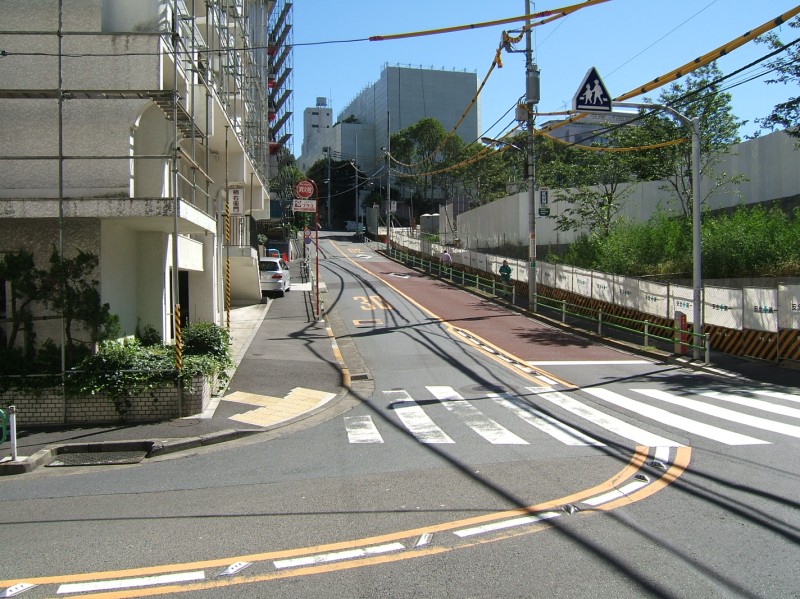 Another name for the hillside is Shimizu Rise (清水坂, Shimizu-zaka). [Photo is from the bottom of the rise]
