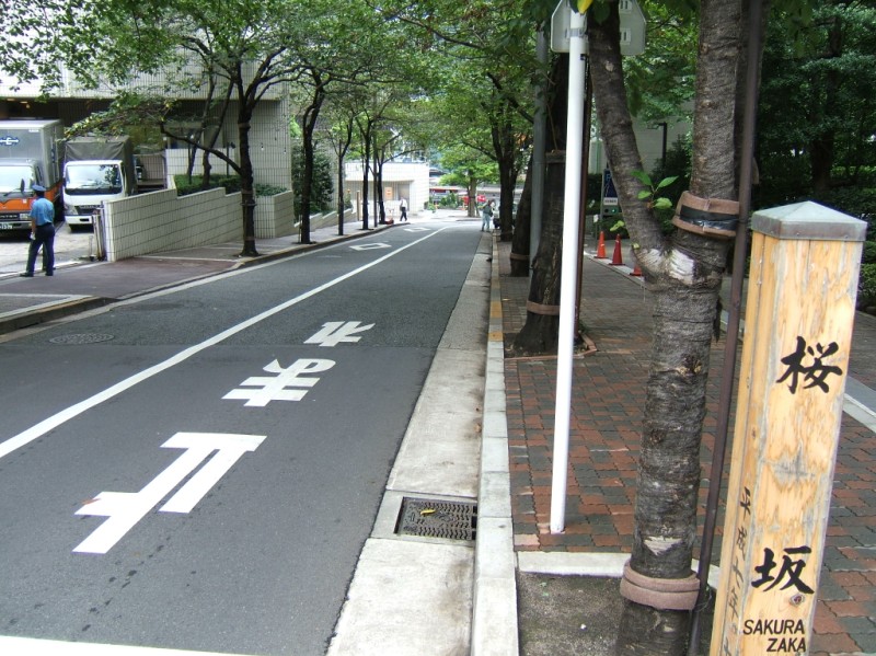
Name:
桜坂 さくらざか
Sakura-zaka, Cherry Rise
Location:
赤坂1丁目11番、1丁目12番の間
Between Akasaka 1-11 and 1-12
This article is part of the special feature Akasaka on the Rise. Check it out in my Live Maps Collection.
The official description:

明治中期に新しく作られた道筋で、坂下に戦災まで大きな桜の木があったことからこの名がついた。
A route created in the middle Meiji Era, it drew its name from a huge cherry tree that stood at the bottom of the rise but was badly damaged in World War Two.
Unofficial explanation:
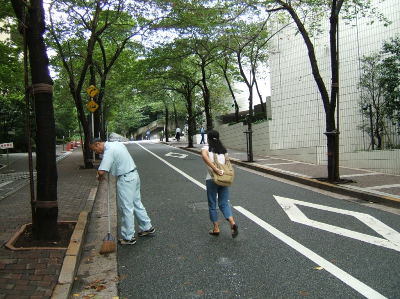 The rise starts at Roppongi Boulevard (六本木通り, Roppongi Doori), and ends at the first intersection. If you turn left you'll be on New Hackberry Rise. If you turn right the hillside actually gets more steep, hitting a nine percent grade. Confusingly, that's where Cherry Rise labeled on the Ark Hills map. Continue on a bit and you'll find yourself at the supposed locales of Festival Drum Rise and Three Valley Rise.
 With talk of cherry trees and World War Two, it seems somehow appropriate to quote a kamikaze pilot song translated in Alan Booth's (great) book The Roads To Sata:
You, Sir, I, Sir,
are cherry blossoms of a kind, sir,
blooming in the garden of the naval academy.
And if we bloom, sir,
we are ready, too, to fall, sir.
Let us fall in splendor for the sake of the country.
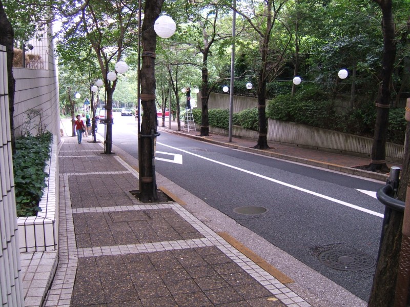 The rise hugs along the side of the Tokyo ANA Hotel (東京全日空ホテル, Toukyou Zen Nikkuu Hoteru). That's at the east end of Ark Hills.
