Higashi Koenji to Shinjuku, the highway route
A sunny early spring morning. It snowed the night before, leaving beautiful clear skies.
The walk is entirely on the Oume-kaido, the old walking highway stretching from Shinjuku out to the west up into the hills and Oume. Under the eastern part of the Oume-kaido lies the Maru-no-uchi line subway. So we start at Highasi Koenji Station and end at Shinjuku Station.
This is part of a continuing series of "walks to work". Part one was from downtown Seattle to Redmond Part two was from San Diego Airport to Uptown. Due to personal matters I was unable to do the 2005 walk to work. Almost two years later, this is the first in a mini-series of walks to work in Tokyo.
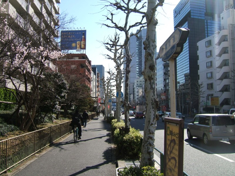
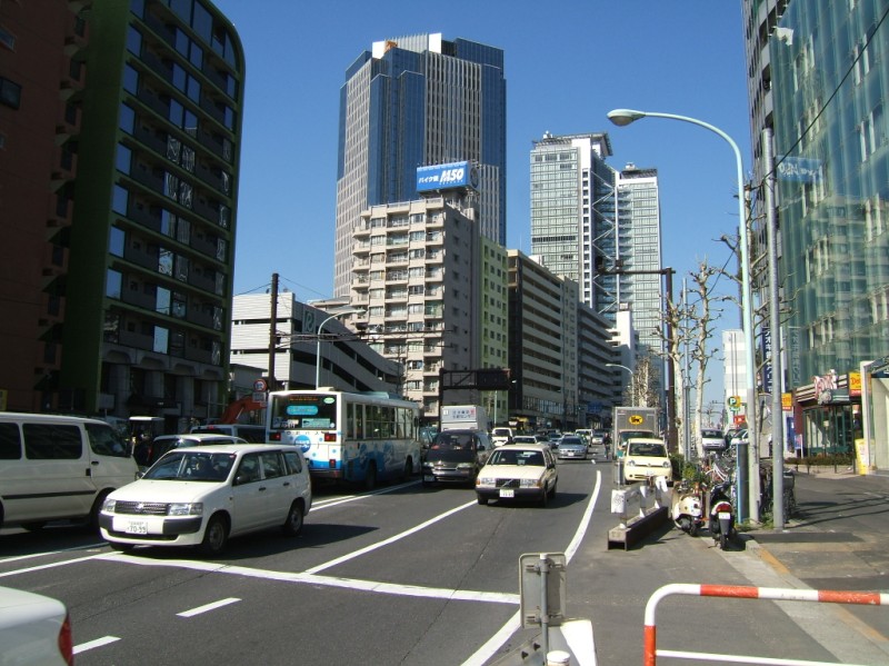
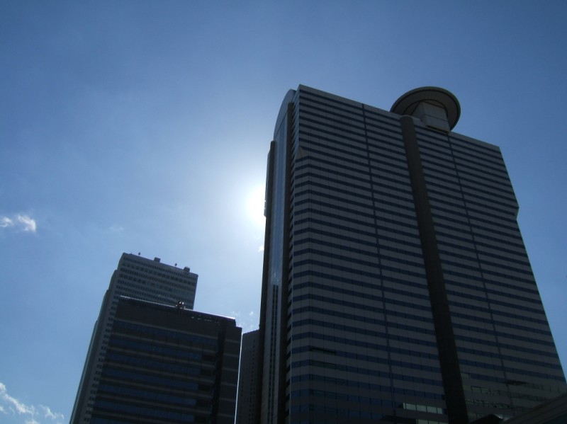
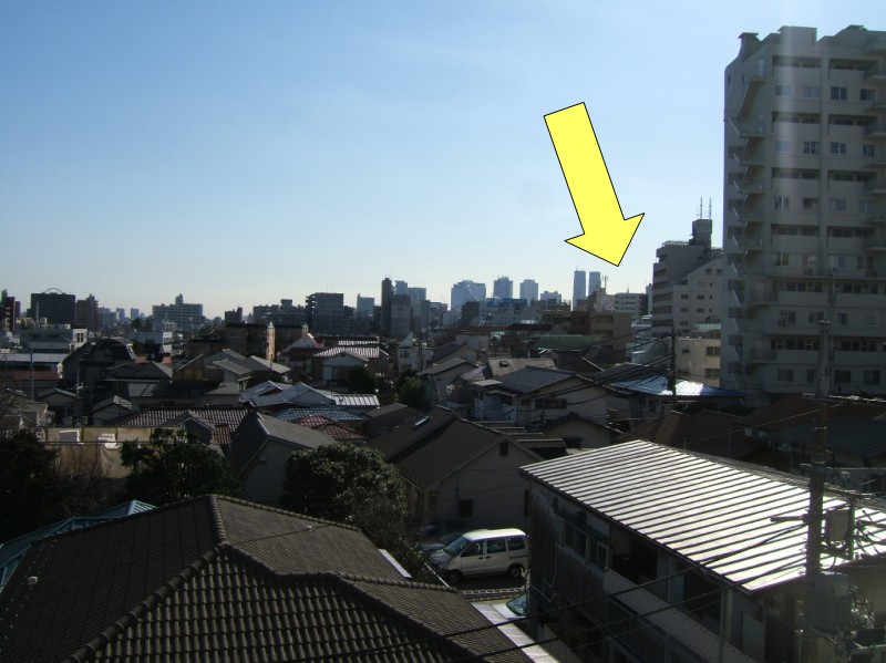 From my starting point I can almost see my destination (normally there's a heavy haze). The twin towers are Tocho, the prefectural government building, in front of where I'm headed. It's 8:45 am.
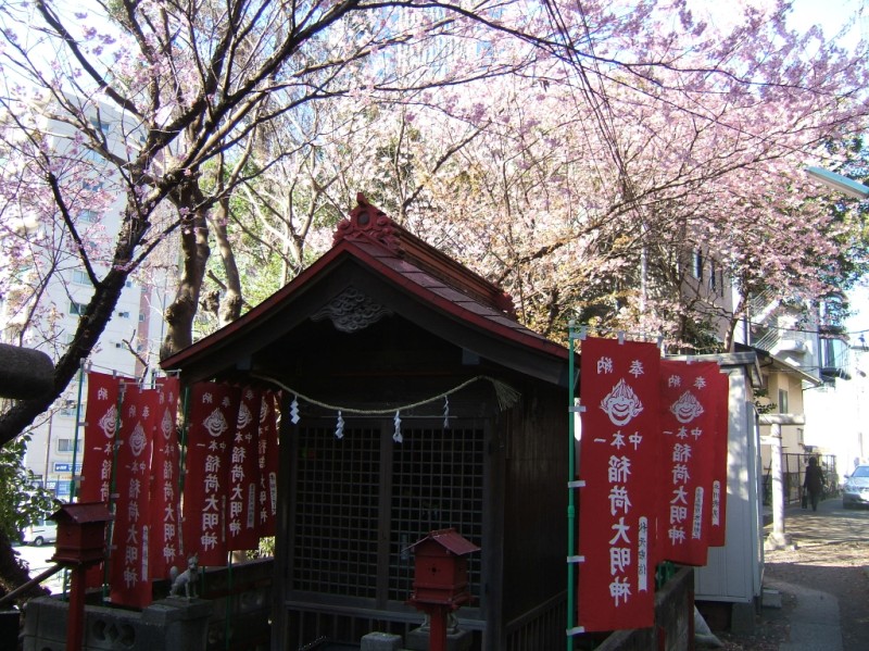
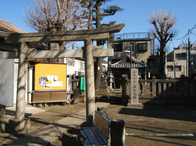 A medium sized shrine that serves the neighborhood. 8:50.
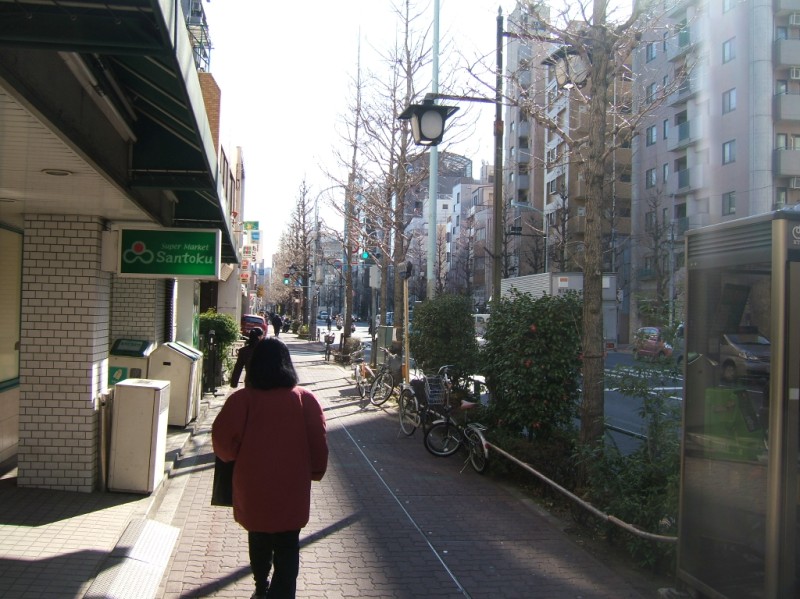 Grocery store on the way to Shin-Nakano station. 8:55.
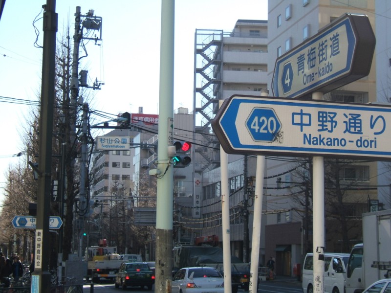 Intersection of Oume Kaido (Oume Highway) and Nakano Doori (Nakano Road). Only neighborhood business streets or major intercity roads have names in Japan. Interstingly, all major intersections (most intersections with traffic signals) have a name, regardless if the roads are important enough to warrant a name. In this picture, the square sign across the street has the intersection name, Sugiyama Koen (Sugiyama Park). The intersection before this was "Koban-mae" (in front of the police box), and the next one is "Nabeya-yokocho", which you'll see in a moment. When there is a place name the intersection takes it. When there isn't, it takes on a generic name of a nearby location, like "in front of the station". A random review of Tokyo intersection names shows that generic names are few and far between, and almost always refer to a subway or train station entrance.
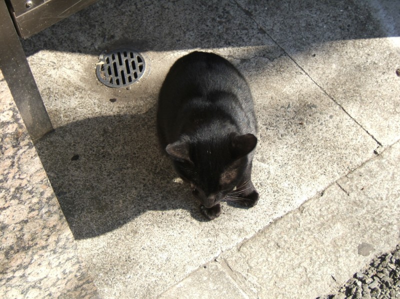 An alley cat in Shin-Nakano. 9 am.
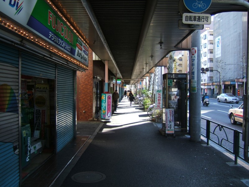 Nabeya Yokocho. Business district stretching south from Nakano. At Shin-Nakano station it ends with covered sidewalks. 9:00.
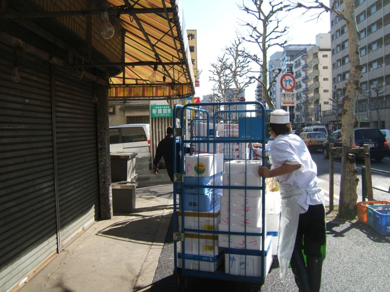 Fresh fish delivery. 9:05.
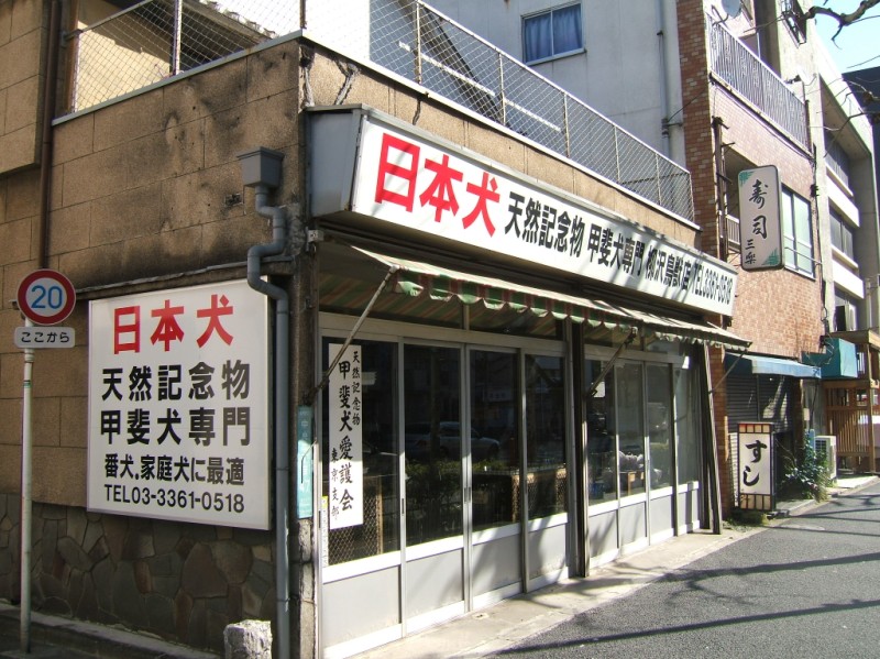 Dog store specializing in Japanese dogs.
 Walking in Nakano. 9:10.
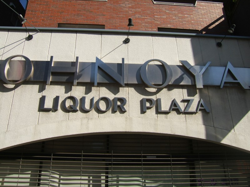 Drinks? Liquor plaza! Oh no? Ya!!!!
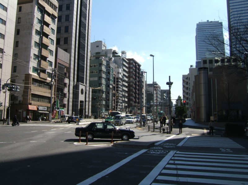
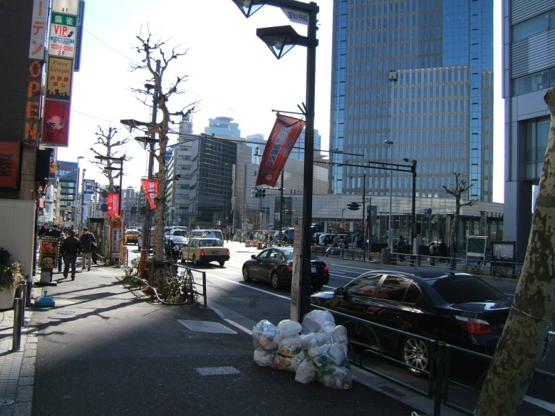 Nakano sakaue. 9:15.
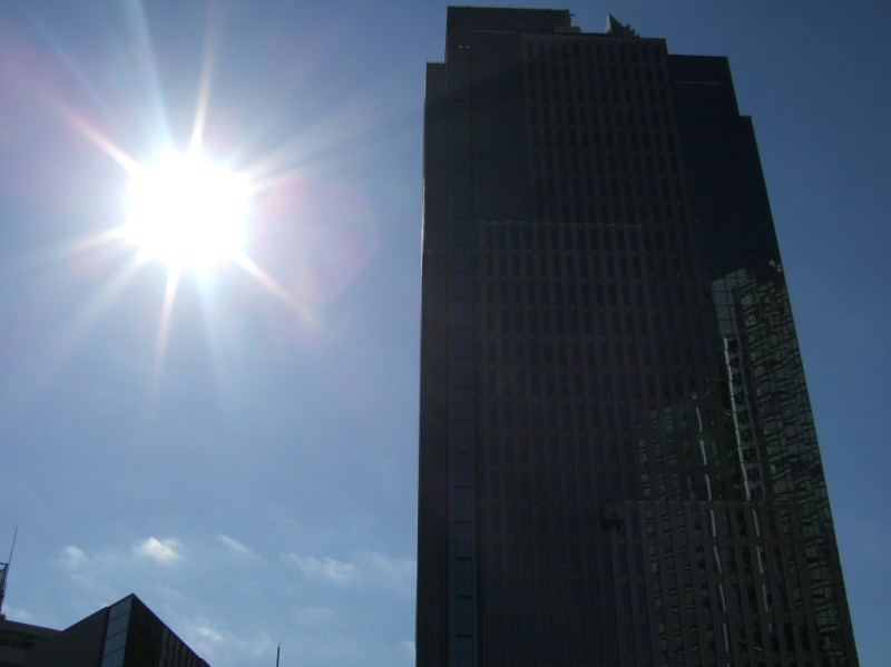
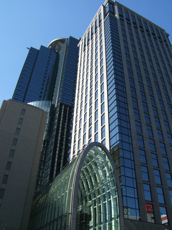
 Nakano sakaue skyscraper one.
 Nakano sakaue skyscraper two.
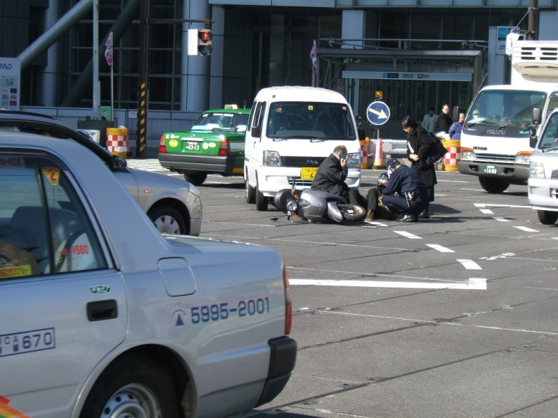 Traffic accident, happened right next to me. Gotta be careful out there. Actually, as I approached the intersection at Nakano sakaue, I noticed that the entire character of the street changed. It widened up, and also it turned into a construction zone. Less than a minute later the accident happened, and I'm sure it had to do with the uncomfortable nature of the road.
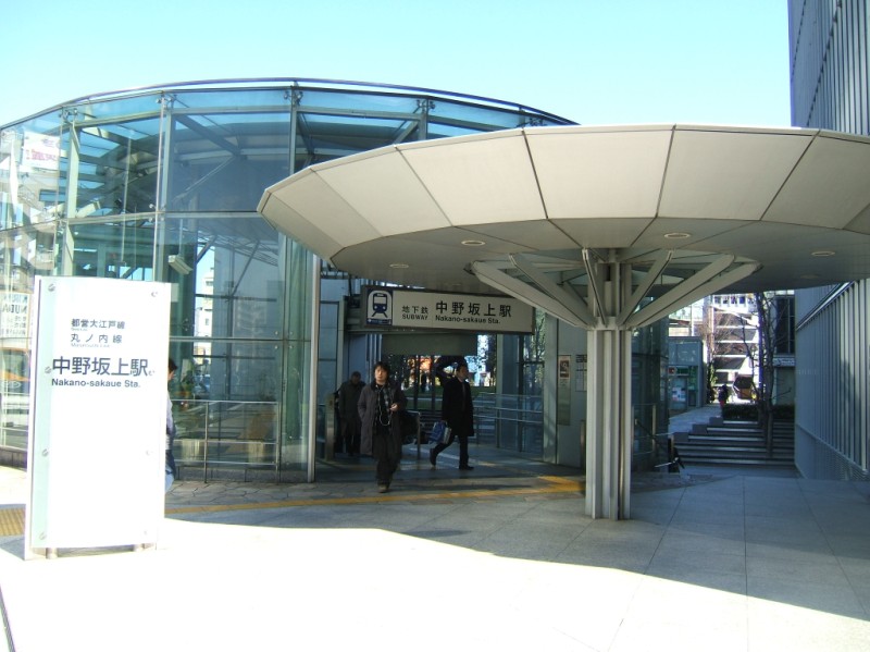 Nakano sakaue station.
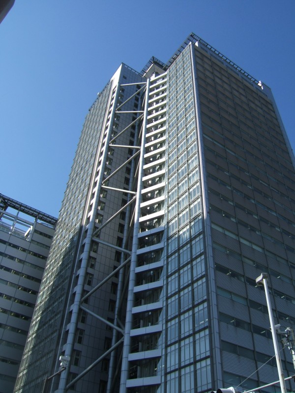
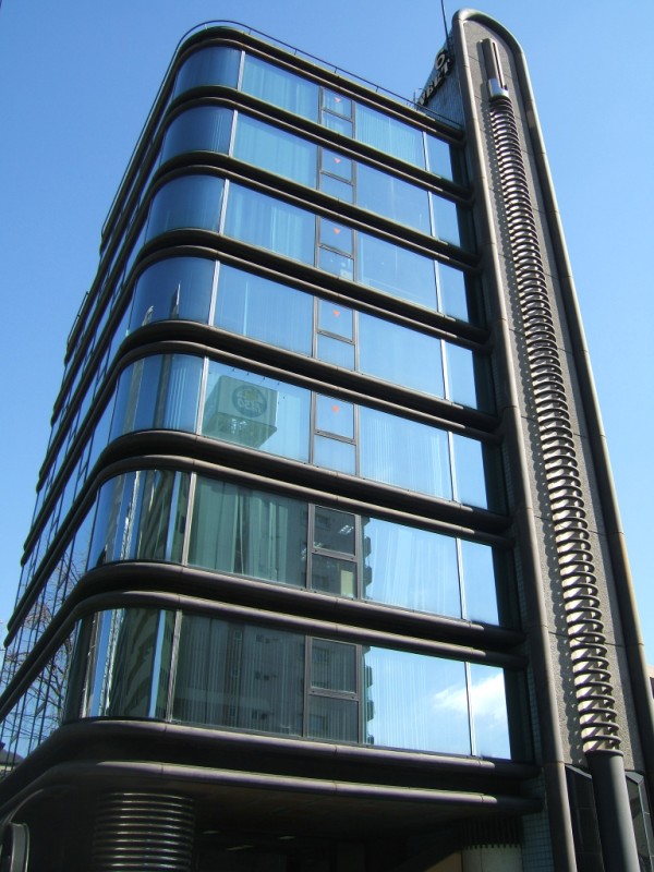 I think this is part of the anti-Godzilla defense system. It's a big electric coil laser cannon disguised as a building.
 As I was walking along I saw a shrine gate and stair leading up. On top of the slope was a nice patch of plum blossoms and a small shrine. 9:20.
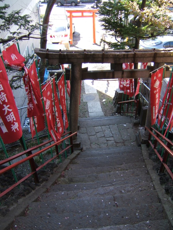 Looking back down
 Nakano sakashita. Sakaue means top of the slope, sakashita means bottom of the slope. The slope leads down to the Kanda river. Just beyond the river is Naruko sakashita (bottom of the Naruko slope). 9.25.
 In the middle of the construction zone they placed a barrier in front of this "pedestrians, stop" sign. Duh.
 Naruko tenjin shita - at the base of Naruko ten shrine. 9:30.
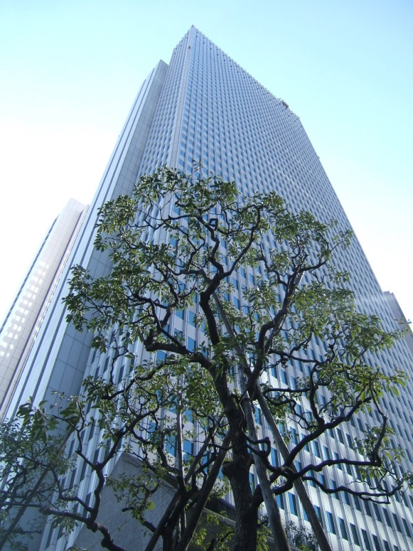
 The first of many skyscrapers in Shinjuku that I photod. They all have significant names, and I don't know what any of them are yet.
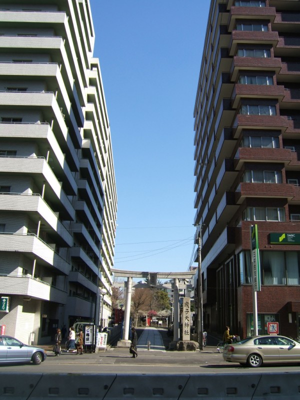 Way back between those buildings is Naruko-ten shrine. I bet this scene was lauded over in the 80s when people made a big deal about the dychotimy of old and new in Japan. Now there's hardly any old left and it's not that big of a deal. Still looks funny.
 The second of a number of skyscrapers in Shinjuku.
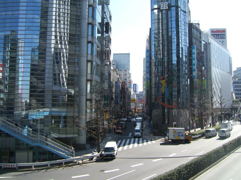
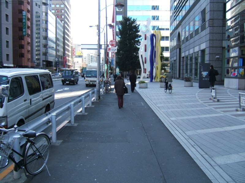 Nishi-Shinjuku. 9:35.
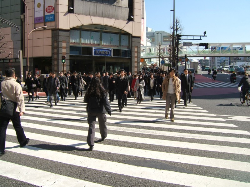
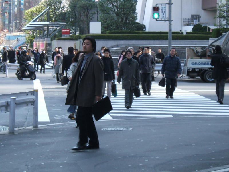 The pedestrians come in waves at rush hour in Nishi-Shinjuku. Let loose in hordes by subways, or in platoons by green lights, they go to and fro. At one intersection you're going with the tide and it's an easy flow. By mid-block the surf has almost died away. Then before the next intersection or station exit you hit the rip tide and try to fight getting pulled back out to sea.
 The third of a number of skyscrapers in Shinjuku.
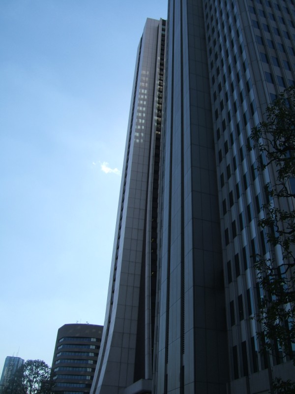
 The fourth of a number of skyscrapers in Shinjuku.
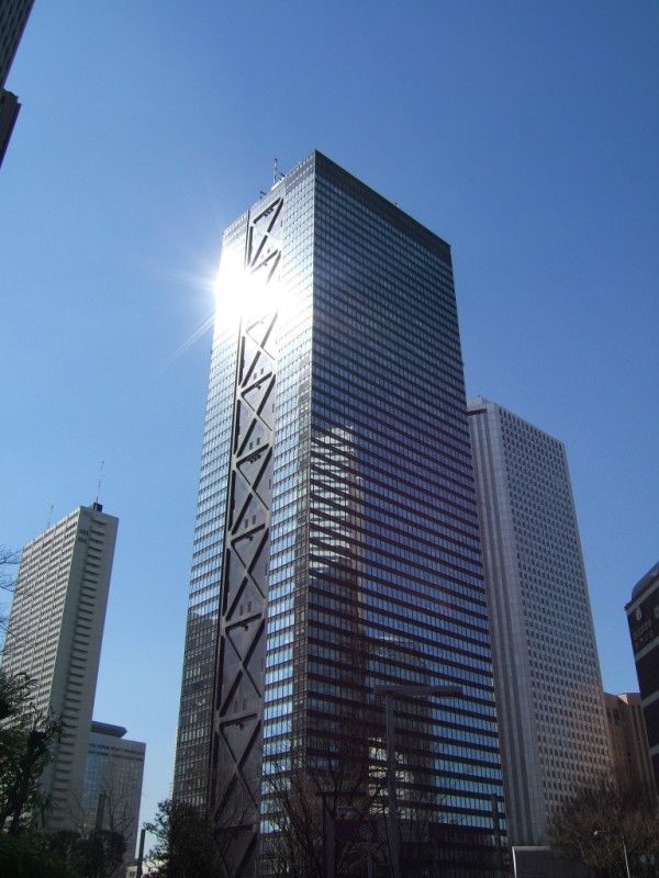
 The fifth of a number of skyscrapers in Shinjuku. West Shinjuku is an office district filled with massive skyscrapers if you haven't noticed yet. I just skirted the northern edge. There are dozens of more skyscrapers like these.
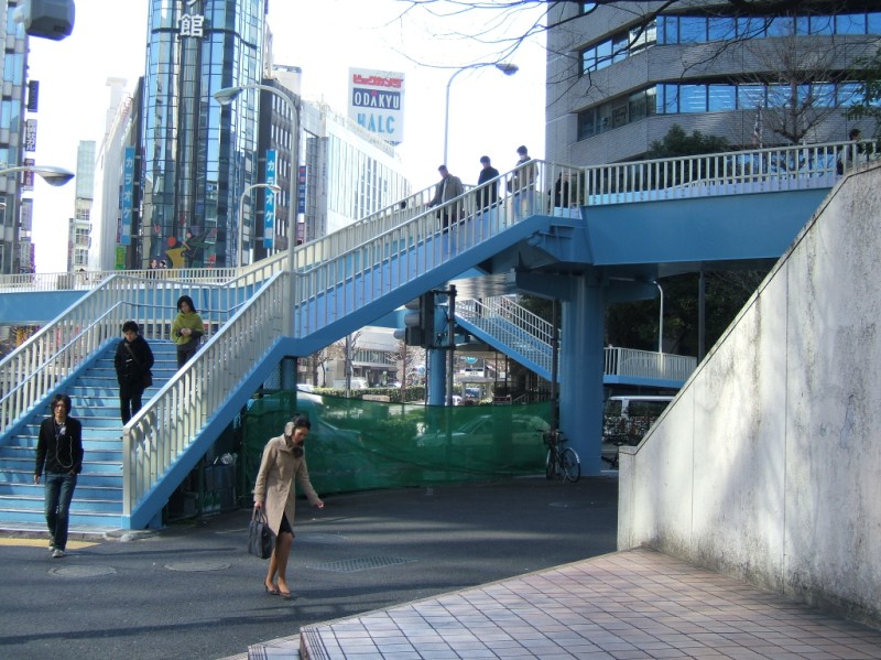 A complicated pedestrian bridge in Nishi-Shinjuku. 9:40.
 Karaoke-kan.
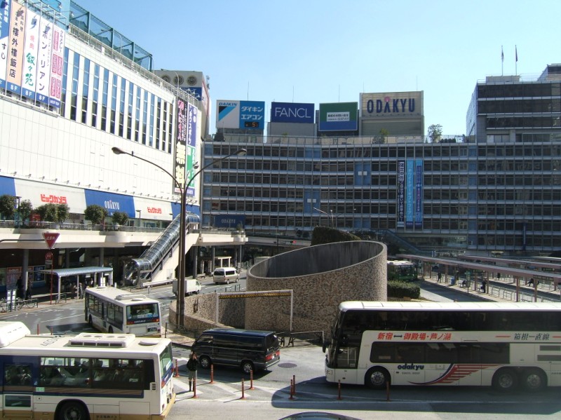 Shinjuku's west exit. Below the bus terminal is a huge underground passage way heading south and west. Stations for Keio, Maru-no-uchi, and Odakyu lines are underground just beyond the massive bus terminal. Beyond the department stores over the subway stations is the JR Shinjuku station, with at least 20 platforms. Just to the south of the bus terminal are the underground stations for the New Keio, Shinjuku, and Oedo lines. As you might guess, this is a busy area at rush hour. There are at least three levels for walking, and they're all packed. 9:45.
 A horde of pedestrians are released by a green light. This is after the bulk of rush hour, remember. 9:50.
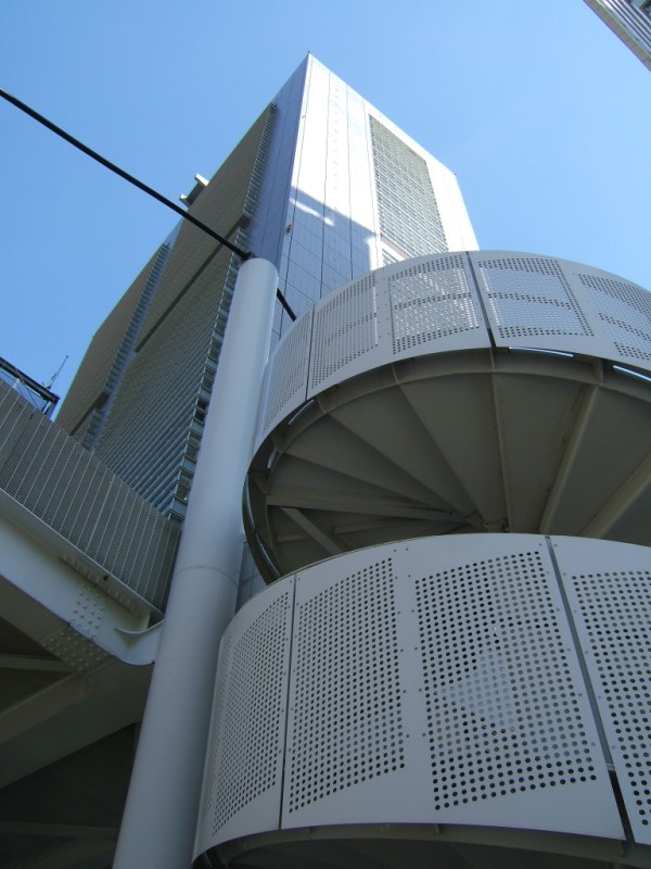 A trick of perspective makes this 40-story building look small next to a one-story pedestrian bridge. 9:55.
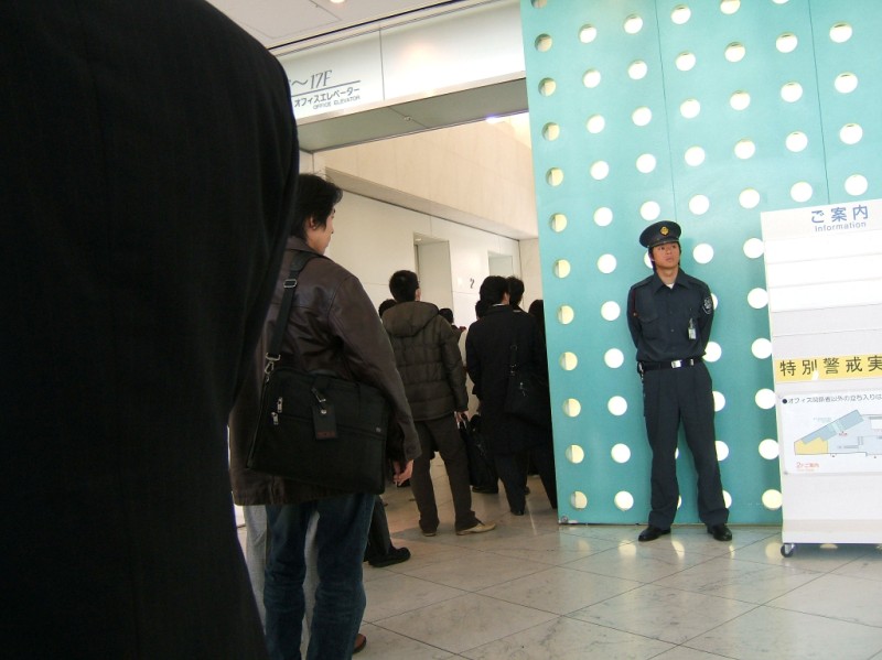 The elevator to work has a line, like always. Made it. 10:00 am.
