Name:
安鎮坂 あんちんざか
Anchin-zaka, Anchin Rise
Location:
元赤坂2丁目1番、2丁目2番の間
Between Moto Akasaka 2-1 and 2-2
This article is part of the special feature Akasaka on the Rise. Check it out in my Live Maps Collection.
The official description:
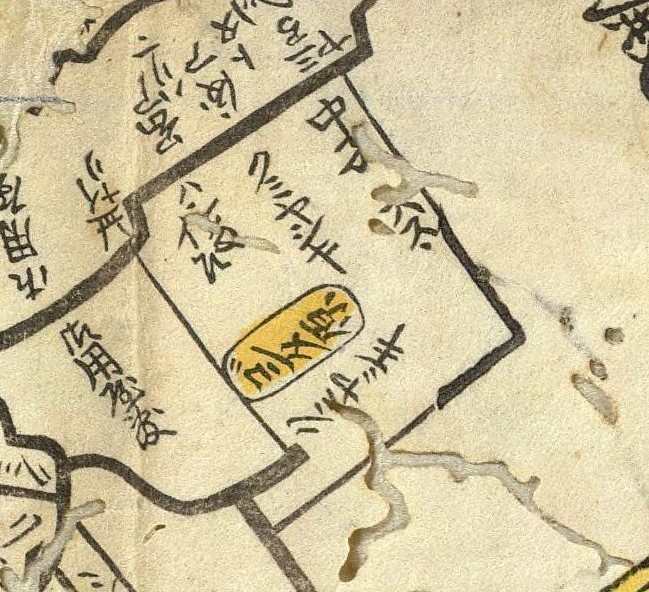 付近に安鎮(珍)大権現の小社があったので坂の名になった。武士の名からできた付近の地名によって権田原坂ともいう。
Nearby there was a small temple with a large representation of the god Anchin. It was also called Gondawara Rise, taking the name of a nearby community that itself was named after a samurai.
Unofficial explanation:
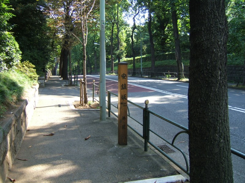 Anchin Rise starts near Outer Gardens East Boulevard (外苑東通り, Gaien Higashi Doori), next to the Meiji Memorial Building (明治記念館本館, Meiji Kinenkan Honkan), on the road that heads along the northwest side of the Akasaka Imperial Grounds (赤坂御用地, Akasaka Goyouchi). It's just south of JR Shinanomachi Station on the Chuo Line (JR中央線信濃町駅, JR Chuuou Sen Shinanomachi Eki). As it heads northwest it drops dramatically to an intersection with an entrance to the Imperial grounds and its mirror-image rise, Shark Bridge Rise.
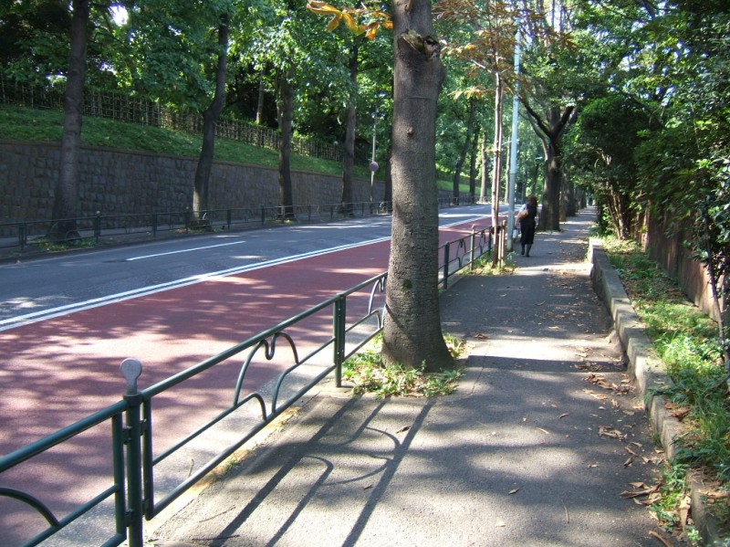
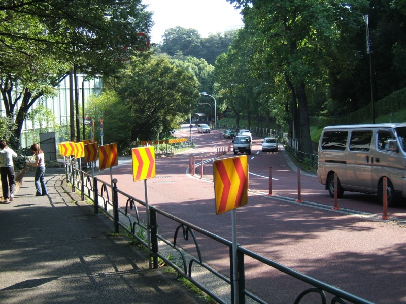 Although half of your trip will be a long hill, the walk along the two rises is very relaxing under tree cover and with relatively light traffic. If you're choosing between here and Aoyama Boulevard (青山通り, Aoyama Doori), and you're in moderate shape, choose this route. [Photos from bottom and middle of rise]
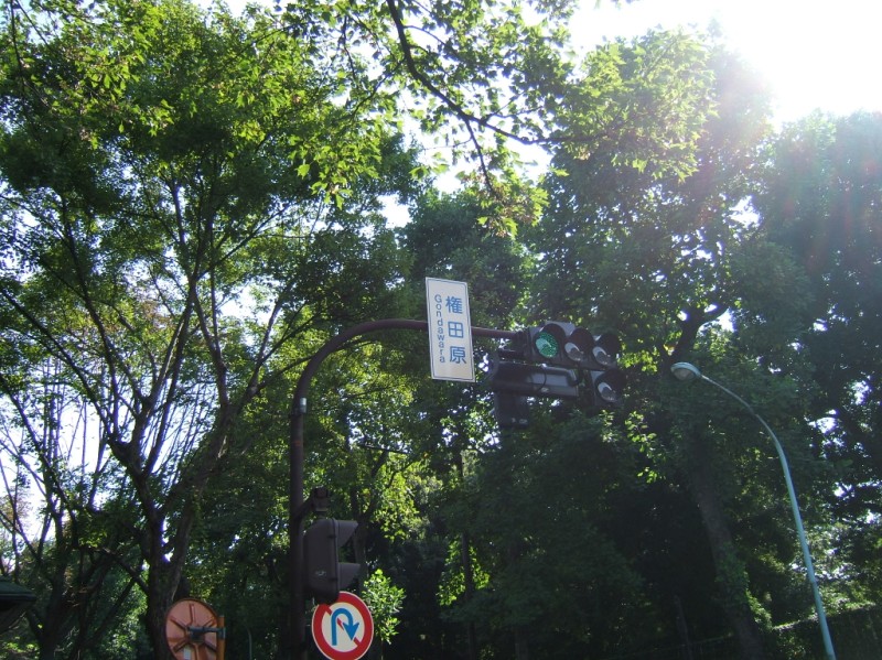 The name of the intersection with Outer Gardens East Boulevard at the top of the rise is still Gondawara. Redistricting of Tokyo neighborhoods in the early 1960s took away a tremendous number of historically named districts. The switch from streetcar lines with their frequent, named stops to nameless bus routes (here's an exception in Shinjuku) and sanitized subway station names did more to remove the character of places in Tokyo in the 1960s and 1970s. As a result, neighborhoods are most often memorialized in an intersection name, perhaps a shopping district, and if they're lucky maybe a bridge or streetrise. Gondawara used to be part of postal addresses. Taken over by government facilities, there is no shopping district. We'll see how many generations the signal and hill name last.
